1 Day in Kanyakumari
Kanyakumari is located at 8.08°N 77.57°E.[6] and has an average elevation of 300 metres. The peninsular tip of Kanyakumari is bordered on three sides by the Laccadive Sea. It is located at the confluence of the Western Coastal Plains and Eastern Coastal Plains.
Kanyakumari is at the southern tip and is the southernmost point of the contiguous Indian Subcontinent. However, the southernmost point of Republic of India is at Indira Point on Great Nicobar Island, at 6°45’10″N and 93°49’36″E. The nearest city is Thiruvananthapuram (85 km) and the airport is Thiruvananthapuram International Airport, Thiruvananthapuram, Kerala and the nearest town is Nagercoil, the administrative headquarters of Kanyakumari District is 22 km (14 mi) away.
Activities
Tour Plan Day 1 : Kanyakumari
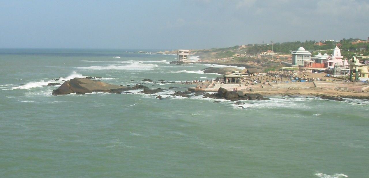
From Kanyakumari (or) Nagerkovil Railway station pick up and drop at hotel. Freshup after go to local sightseen visit. At first start with 6’O’ clock visit the Sun Rise, after the breakfast go to Vivekananda Rock, Thiruvalluvar Statue Boat Ride, Gandhi Memorial, Kamaraj Memorial, Thiriveni Sangam, Devi Temple, Wax Museum, Thousand-year-old Siva Temple, Bharath Matha Temple, Vattakotai Circular fort, Suchindram Temple, Siababa Temple, Ramar Temple and finally tour end with sunset.
